
- PLACES / MAX PATCH LOOP TRAIL

Cell Receptions
SpottyADA Accessible
NoOpen Season
Fall,Spring,Summer,WinterStroller Friendly
NoTerrain Type
DirtWater Fountain
NoBathrooms
NoPet Friendly
YesFee
$0.00Nearby convenience store
NoCamping Nearby
YesEmergency support within 5 miles
NoTrail Length/Type
1.50 mi., Loop
Helpful Trail Information
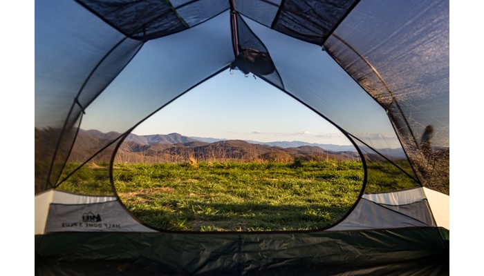
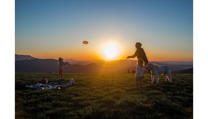
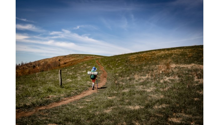
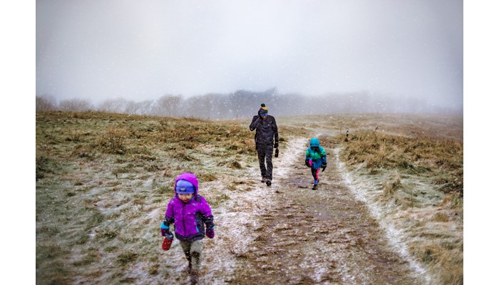
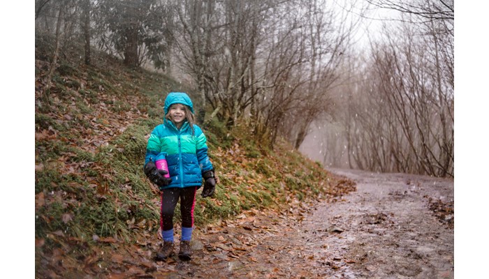
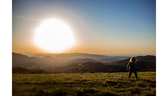
Camping Nearby, Shelter, and Viewpoint The main highlight of this trail are the incredible 360 degree views–this trail is an excellent place to watch the sunset, and you will almost always have company if you choose to do so. Even at midday however the views are worth the climb, and for such a short distance it’s a must-do trail if you have kids. The bald leaves so much open space at the summit for running, games, frisbee, or whatever else little ones might find to do in a wide open space! Make sure to check the weather forecast before setting out however–it can be very windy, and is cooler at the summit that neighboring towns. Avoid this trail if there are storms, as hikers have been struck be lightning due to the absence of tree cover. Camping is not permitted on the bald, but dispersed camping is available along the AT northbound from the summit, as soon as you drop below the treeline. The closest water source is a spring about half a mile from the summit. The Roaring Fork Shelter is 2.1 miles north on the AT and has a stream nearby for water, if you want to extend the hike or turn it into a backpacking trip.
Parking Details
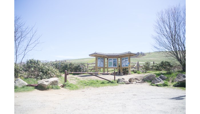
There is no fee to park, but due to the popularity of this trail the parking lot can fill up quickly, especially on weekends or when the weather is nice. Overflow parking is available along Max Patch Rd.
Elevation gain
430 ft.