
- PLACES / BORDNER'S CABIN & ACRIGG'S FALLS (SWATARA STATE PARK)
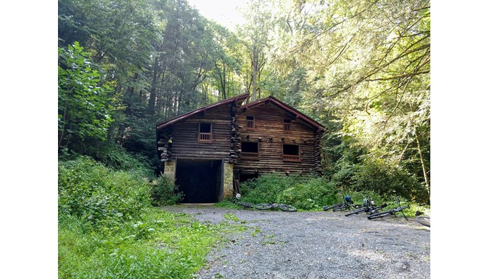
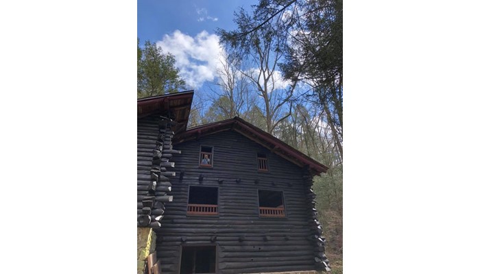
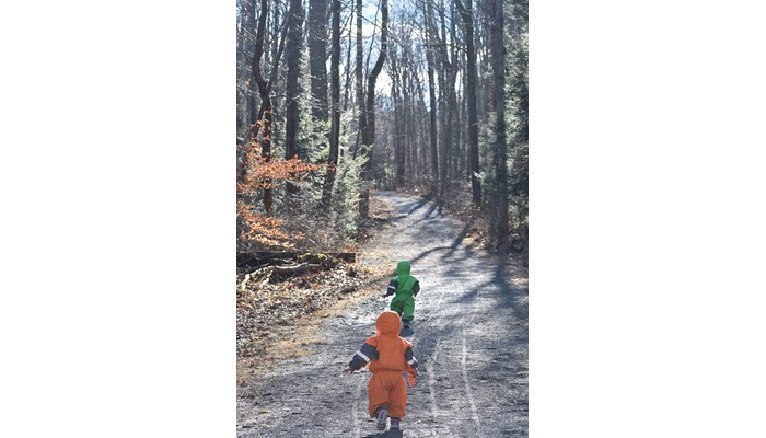
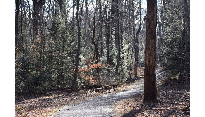
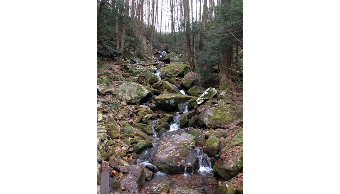
This hike is a favorite of local HiB families because it is a well shaded hike on flat surface and is stroller accessible. The cabin provides a great place to picnic and a good view point/goal for young hikers. Acrigg’s Falls are just behind the cabin and provide a fun place to cool off.
While we do recommend an all terrain or jogging stroller, families have hiked here with “standard” strollers, an umbrella stroller is not advisable.
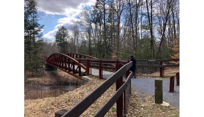
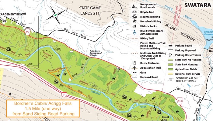
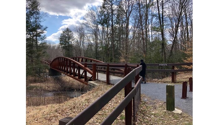
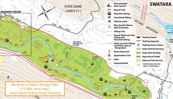
Trail Directions: The shortest access to this site is to park in the parking lot at the end of Sand Siding Road. Walk back up the road (just a short distance) to the trail and take a left onto the Swatara Rail Trail. You’ll shortly come to a bridge on your left, probably about ¼- ⅓ mile down the rail trail. This bridge has a sign that says “To Bearhole Trail”. Cross the creek, and turn left again. About 1 mile down the road you will reach the cabin on your right. This path has been marked in orange on the small map, this is approximately 1.5 miles in each direction and the most popular route for young hikers. This trail is stroller accessible, all-terrain or jogging strollers are recommended, but it can be done with a “regular” stroller as well. This path is fairly flat. The cabin is a great place to picnic and some like to cool off in the falls. There is an outhouse at the cabin site.
For a longer hike you can park at the Waterville Bridge, where the Appalachian Trail crosses Swatara Creek, and walk to the cabin; approximately 2.5 miles each direction. As many of the paths connect in the park there are alot of creative ways to get there, depending on how long and how far you want to hike.
Full Park Map: http://www.docs.dcnr.pa.gov/cs/groups/public/documents/document/dcnr_003057.pdf
**Hunting is permitted in Swatara State Park, high visibility colors advised, especially during hunting season**
Cell Receptions
SpottyADA Accessible
NoOpen Season
Fall,Spring,Summer,WinterStroller Friendly
NoWater Fountain
NoBathrooms
NoPet Friendly
NoFee
$0.00Nearby convenience store
NoCamping Nearby
NoEmergency support within 5 miles
NoTrail Length/Type
1.50 mi., Out & Back
Helpful Trail Information
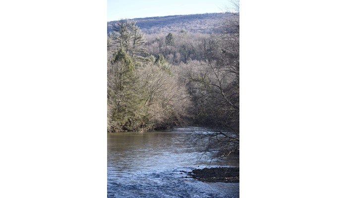
Creek / River, Mud Puddles, Shaded Hike, Shelter, Viewpoint, Waterfall, and Wildlife Viewing
Parking Details
The latitude and longitude given (40.503822, -76.513136) are for the parking area at the Sand Siding Trailhead. This is for the shortest and most commonly taken route to the cabin.