
- PLACES / ALUM CAVE
ADA Accessible
NoStroller Friendly
NoTerrain Type
DirtWater Fountain
NoBathrooms
NoPet Friendly
NoFee
$0.00Nearby convenience store
NoCamping Nearby
NoEmergency support within 5 miles
NoTrail Length/Type
4.40 mi., Out & Back
Helpful Trail Information
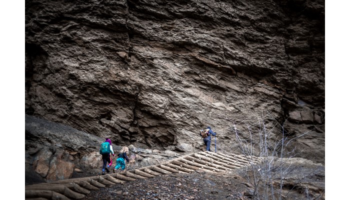
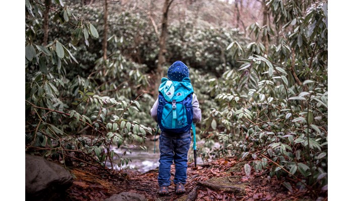
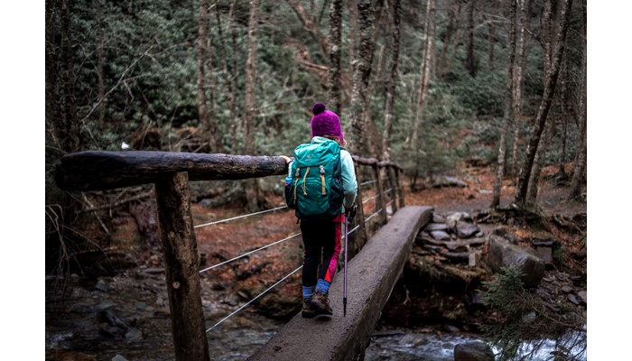
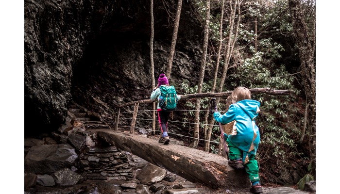
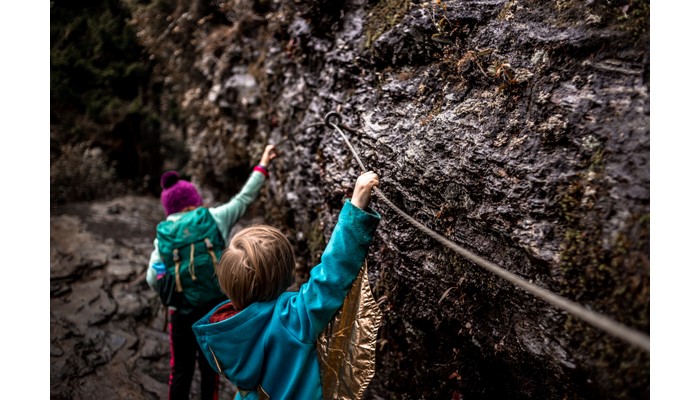
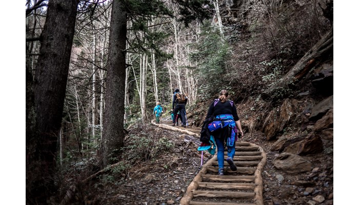
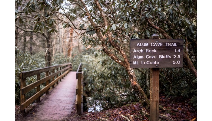
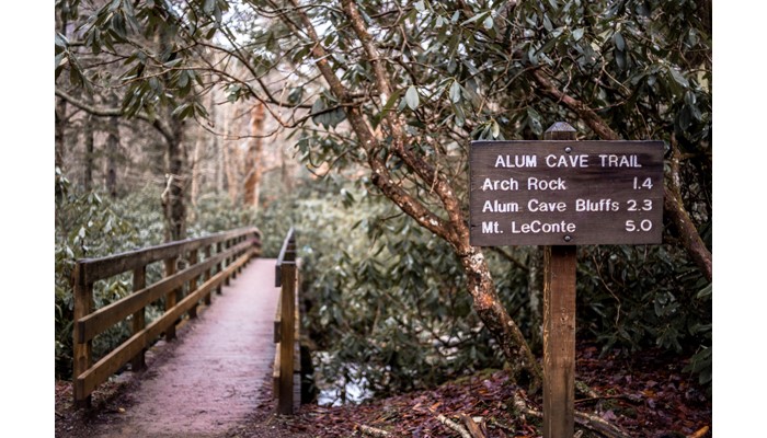
Creek / River, Mud Puddles, Natural Play Area, Shaded Hike, and Viewpoint The “cave” this trail is named for is not a cave, but a huge overhang halfway to Mount LeConte. It’s a great place to stop and take in the sights, and under the overhang has sandy ground that’s fun for playing in. Before getting to the cave, the trail meanders along a creek bed for over a mile, and crosses a couple of seasonal streams before reaching the top. There are several easy access points to the creek that make for excellent water play, though will certainly make the trip to the top take longer. The other major feature on this trail is the “Arch Rock” at mile 1.4; after crossing a narrow bridge the trail follows a set of steps through a natural tunnel. Unfortunately crowds make it hard to stay here for long, and the steps inside the tunnel can be slick, but it is a good motivating point for getting young walkers to move forward.
Parking Details
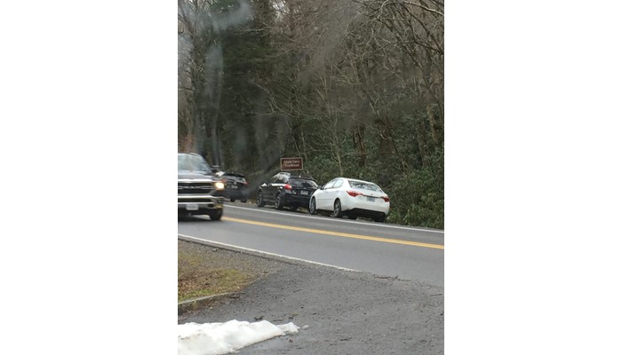
This is one of the most popular trails in the Smokies, to the extent that there are two parking lots to accommodate all of the traffic. Plan to get there early to get a parking spot.