
- PLACES / DOUBLE ROCK PARK -BLUE LOOP
This gem of a park is just straddling the border of Baltimore County and City.
Park at the lot closest to Texas Road and park as close as you can to the exit (see end of write up as to why). Walk down to the sign at the end of the parking lot and take a look at the trail map. You’re going to mostly go on the blue loop, but see how there are two parallel lines on the south side of the stream? Start top.
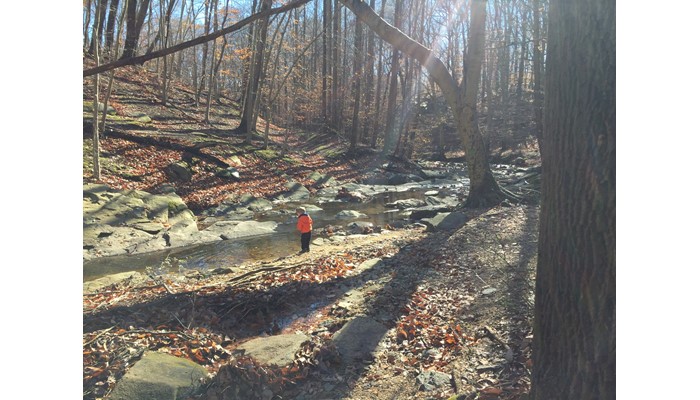
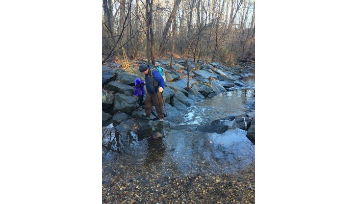
Start this hike but letting the kid loose running down hill (we have had our fair share of tumbles so use caution as needed). As you reach the stream, look to the right. Cross the riprap at the safest spot for you and your child. In icy and wet conditions the rocks will be slippery. Once across follow to the left. You’ll immediately see a manhole for the sewer stack. This is the split of the blue loop. Stay to the right (top side). Follow this trail as it undulates along the forest. Pay attention with your ears as there are typically woodpeckers abound. Once you’re walking along stream again, you’ll hit a rock wall and will need to either (a) cross the stream or (b) pull an almost 180 and follow the blue route back. If you cross the stream, you can find larger water holes great for throwing rocks and leaves. You can also follow back up stream on this side of thr bank, however use caution when crossing as this side is steeper, there’s no real defined path and crossings are much more difficult.
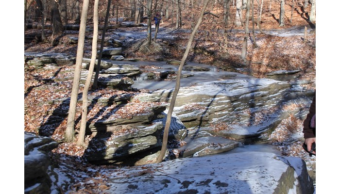
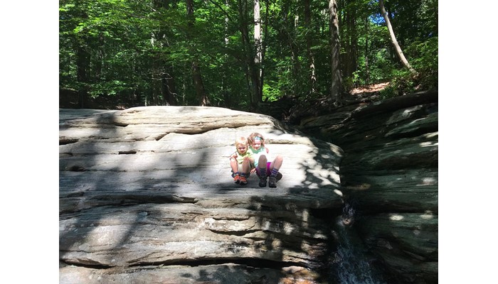
Once back on the blue loop returning you can find lots of points of access to the stream. After walking away a uphill you’ll notice a large flat rock overlooking a “falls”. You can cross the falls and you’ll be able to return via a paved trail to the playground and then the steps to your car….or if that’s not in the cards just keep following the blue route further upstream to the original crossing.
At all times crossing the stream, use caution as wet weather (rain or snow) can change the streams cleanliness and depth. Additionally, rocks can be slippery due to algae and ice. Last, there is usually a fair amount of broken glass along the stream.
Cell Receptions
ExcellentADA Accessible
NoStroller Friendly
NoTerrain Type
DirtWater Fountain
NoBathrooms
NoPet Friendly
YesFee
$0.00Nearby convenience store
YesCamping Nearby
NoEmergency support within 5 miles
YesTrail Length/Type
1.75 mi., Loop
Helpful Trail Information
Creek / River, Picnic Area, Playground, Shaded Hike, and Waterfall There are two playground areas. 1 is located immediately at the Texas Ave entrance (and is very close to the “start” of this hike) the others are further into the park beyond the athletic fields. Both areas have covered picnic pavilions and access to the trails. The trickle of a waterfall is a sight to see in the frozen winter.
Parking Details
Parking is located at lot at intersection of Glen & Texas.